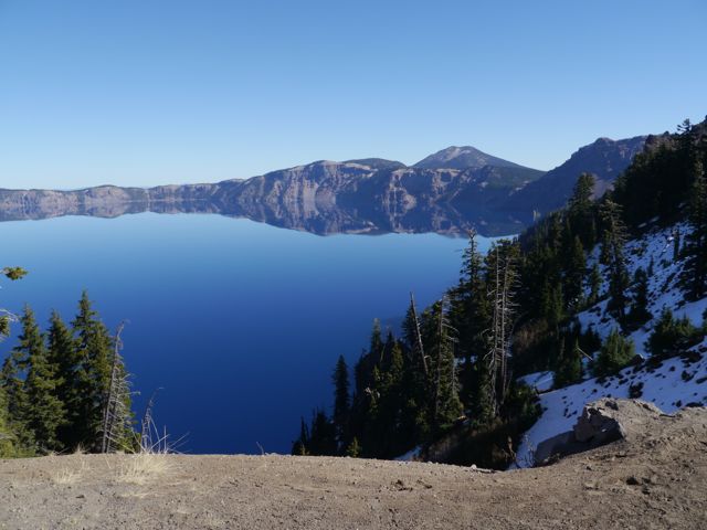
Ho hum, you’ve seen one Volcano that blew it’s top creating a perfect crater, subsequently filled with melted snow to become a pristine lake, you’ve seen’m all.
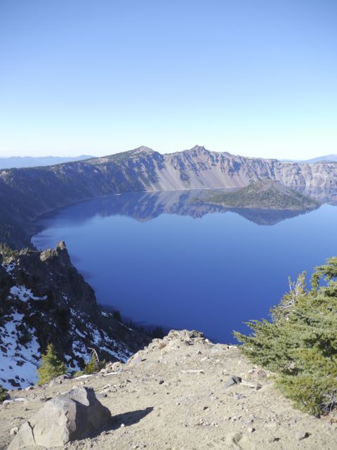
The video running on the 1/2 hour at the visitor center says that just 7700 years (in geological terms, yesterday) ago, Crater Lake was Mount Mazama. In fact, the indiginous indians, claim to have handed-down eyewitness accounts of the fateful event.
Scientists estimate that what took millions of years to create, caved in over the course of 2-3 hours. Well, we spent our 2-3 hours there, and it was amazing… crystal clear, blue sky, no wind (water was mirror like), mid 60’s… perfect hiking weather. Some locals assured us that we were seeing it “at its best”.
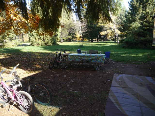
All that said, the State Park that we chose to camp in based on proximity to the lake probably equaled the lake in my mind. It was perfect. Large, treed campsites. Full hookups. Lush grass. Bike trails. Deer. Firepit. Mixed forests with falling leaves. A lake. Amazing stars at night. I could go on and on, but within 5 seconds of being setup in camp, I felt the last little bit if stress leave my body. It was perfect. (except for no tv or wifi, but you can’t have it all!).
Check out these pics! The kids are getting back into taking pictures, since Kane bought himself a camera, and Kat dusted off her DS (that she bought from Kane). Kane had a blast taking pics of the lake, and his camera has a built-in “paranorma” (he pronounced it… really “Panorama”) mode which was perfect for the lake.
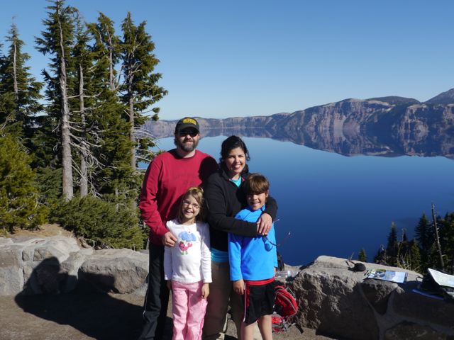
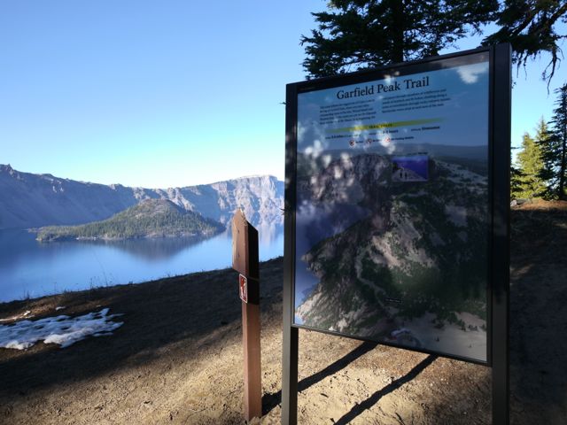
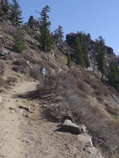
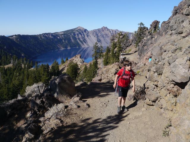
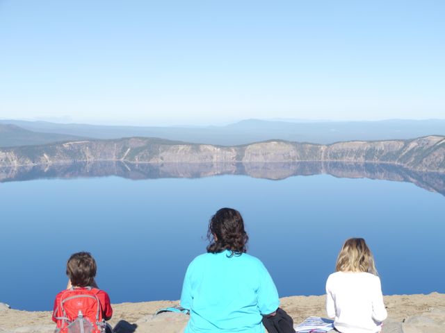
We drove up to the visitors center (got in free because we have an annual NP pass), got he lay of the land, drove up to “rim village” to park. At the lunch we packed on the stone wall overlooking the lake. Then we did the the “Garfield Peak Trail” to the top for the exercise, the feeling of accomplishment, and the views. What a day!
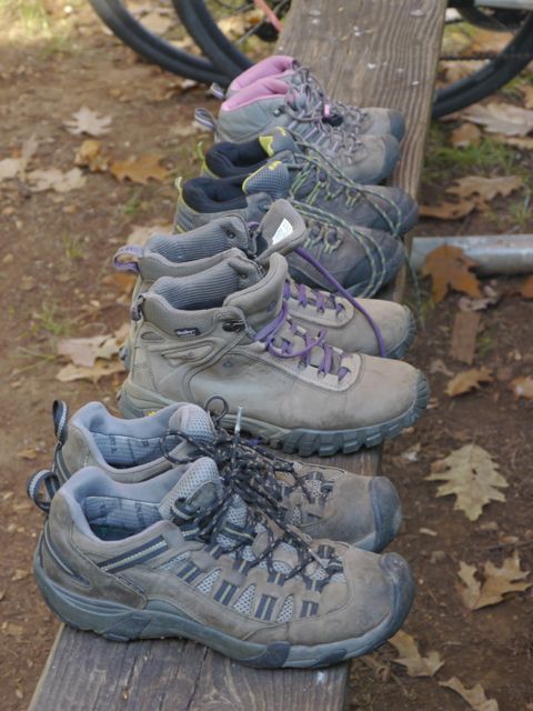
After 3.5 months, our hiking shoes are good and broken in!
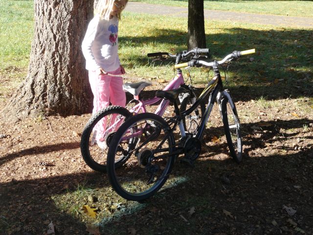
Kids bikes have to come off the jeep immediately after we are setup (and sometimes before).
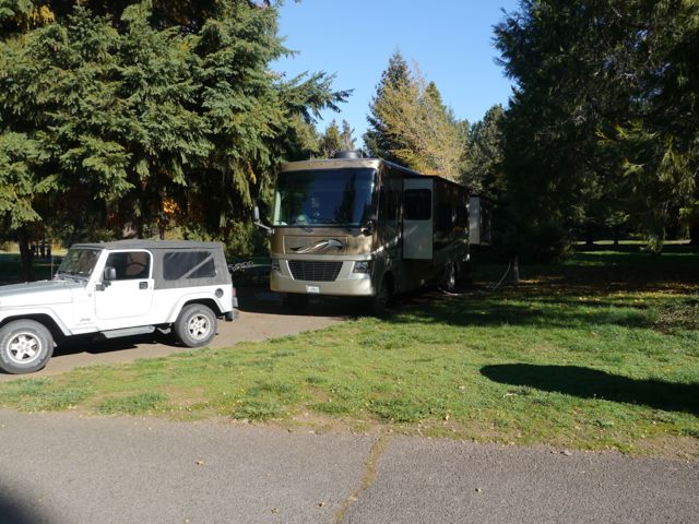
This was our yard for a few days… Joseph Stewart State Park… wow!
Our campsite. It was aided by sparseness of the late season, and the face that the loop behind us was closed
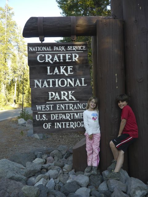
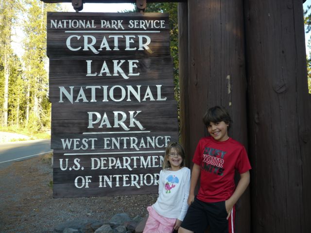
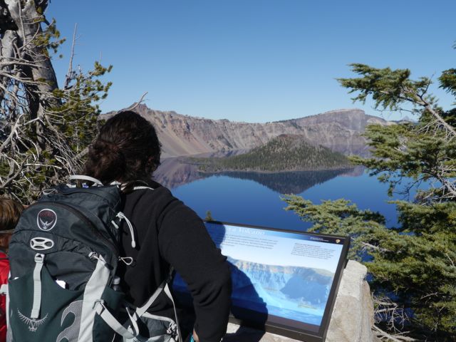
Interesting how this sign is totally different from the other NP signs we’ve seen.
Kim and I “almost” had a fight about this sign. We didn’t stop on the way in, and we thought we were going to have to argue about turning around on the way home if we missed it. Turned out moot because we didn’t miss it! Everybody’s a winner.
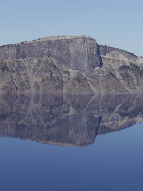
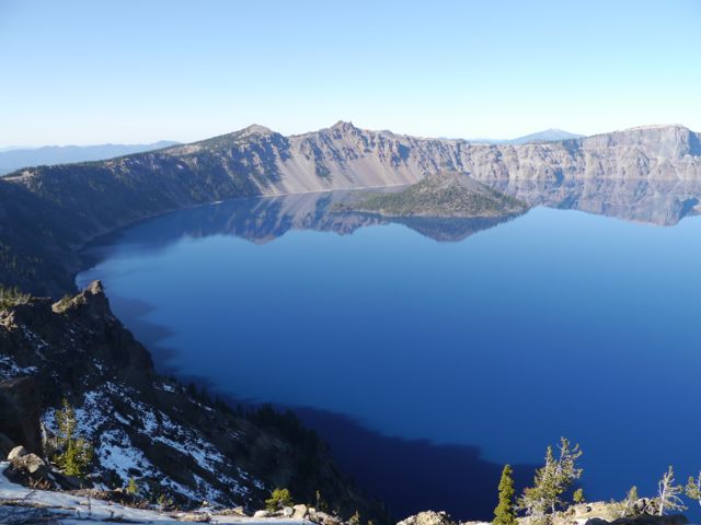
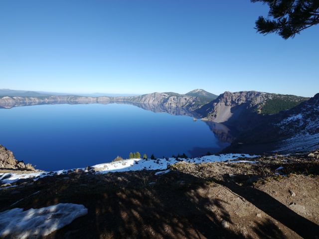
Kim took this with her iPhone. I thought it was interesting how more saturated the colors were by default. Nice blue water.
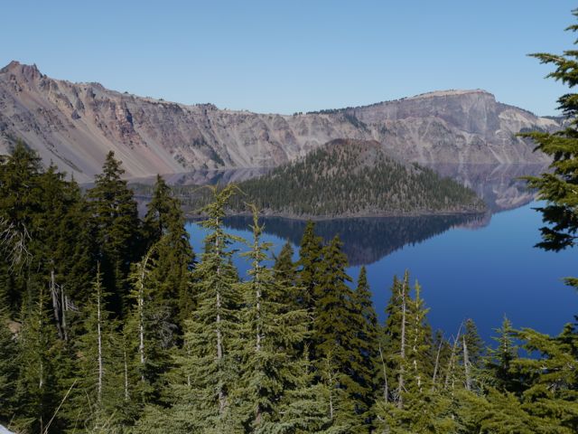
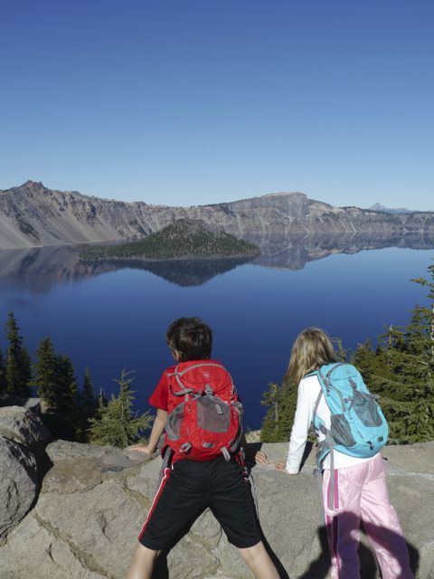
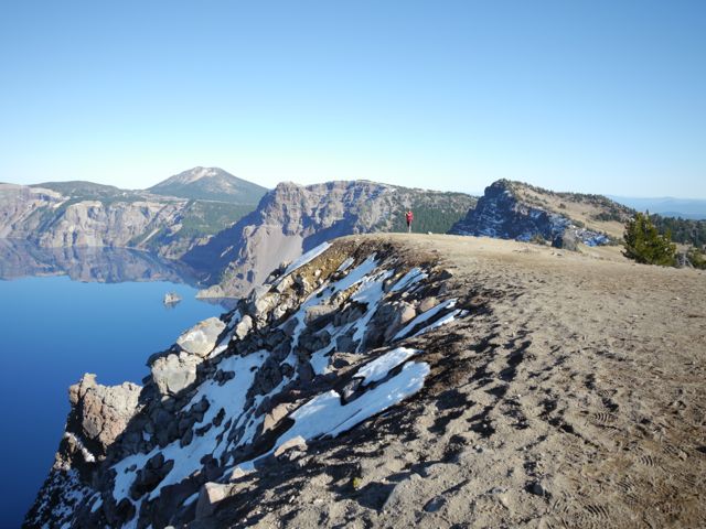
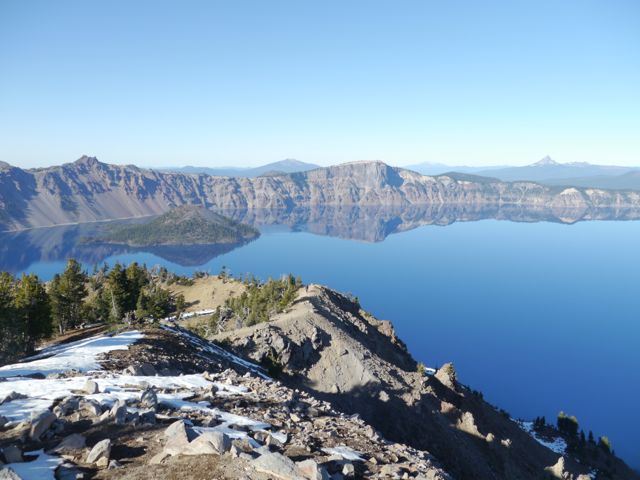
Kids with Wizard Island (sunken volcano tip) to the left.
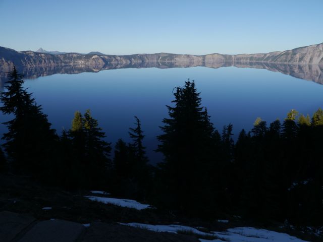
A lot of these are “Just cool” pics of Crater Lake… no story here.
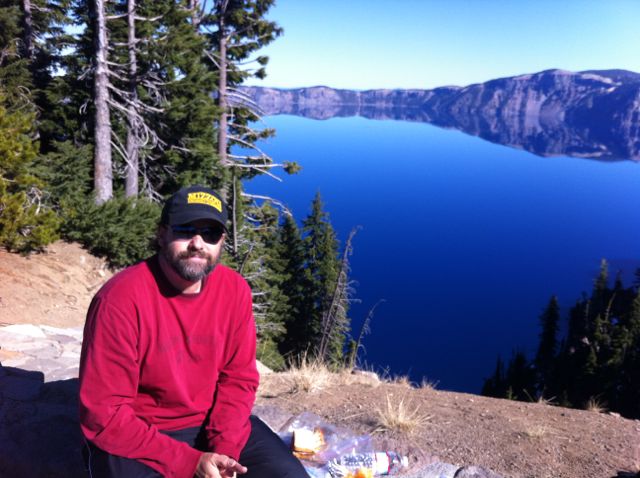
I was laying on the wall, relaxing, while Kim was taking the lunch trash back to the jeep. I notice a couple struggling to take a “Selfie”. I offered (and took) a shot for them, and they returned the favor. Why not, we’re due for a new banner photo for the blog!
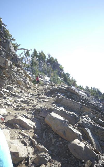
Garfield Peak Trail Hike – 3.4 miles round trip, and 1000 ft elevation gain
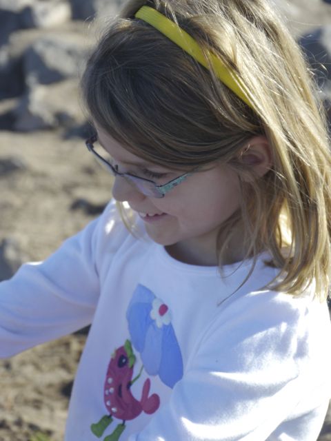
Junior Ranger in the making
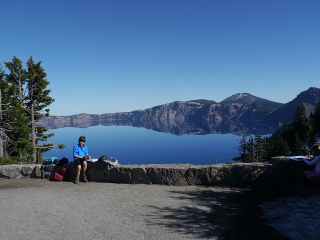
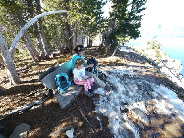
Our lunch spot
Wizard Island
Kim’s learning again!
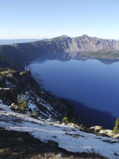
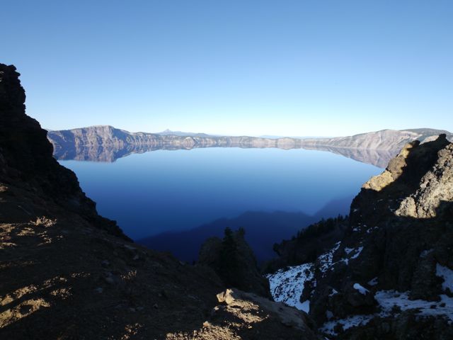
We spent a lot of time looking at the lake. It was amazing how walking a few feet would completely change the view.
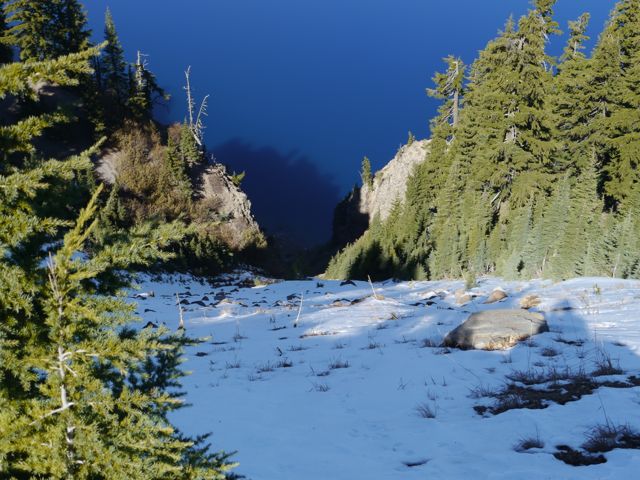
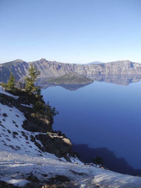
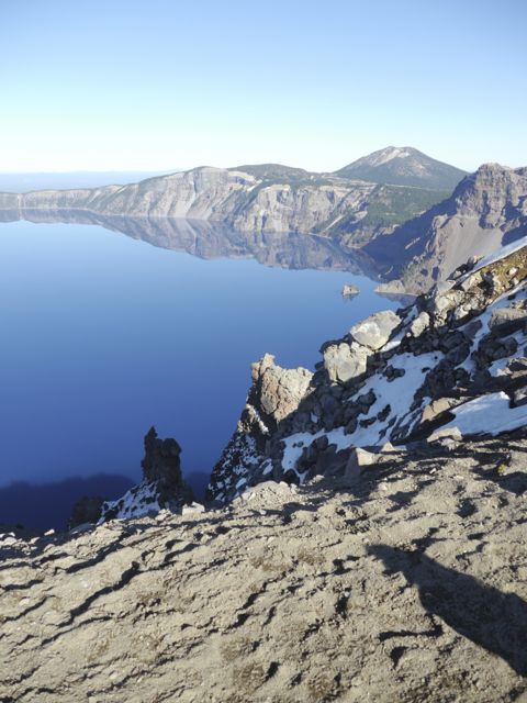
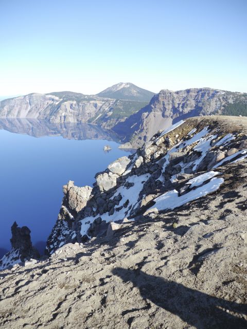
Lots of snow around, and some steep areas down to the lake.
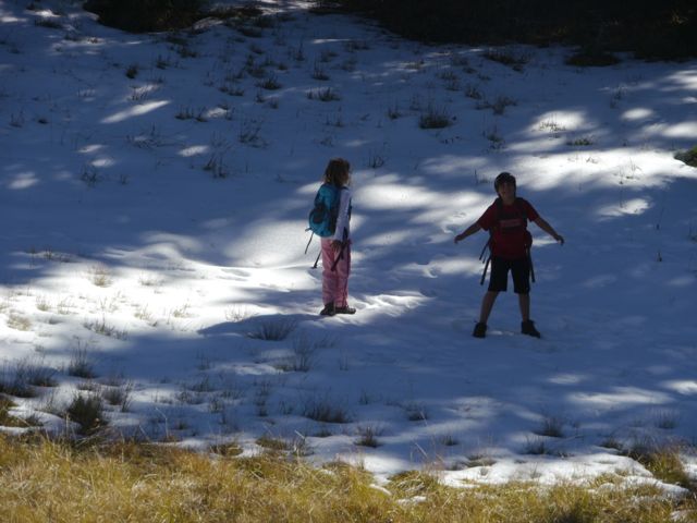
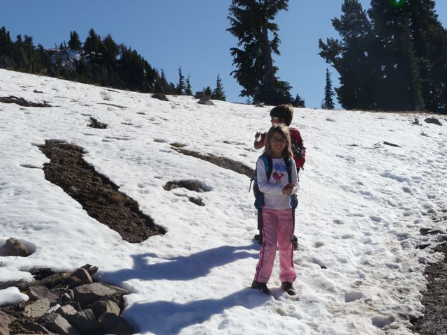
Kids + Snow = Snowballs = TROUBLE
LLao rock. Natives say the crater was created basically by the underworld god (Llao) and the aboveworld god (Skell), having a fireball battle. Llao was mad that an indian princess would not marry him, Skell was sticking up for the indians. This rock formation is called Llao rock for the underworld god.
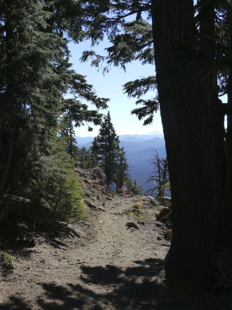
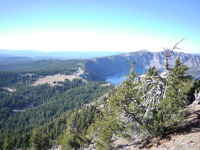
1/2 of this trail is on the “wrong side” of the peak (no view of the lake). Cool views down into the valley though.
Kanes on the prowl for a photo op.
The Valley south of the lake.
Various views of Wizard Island coming…
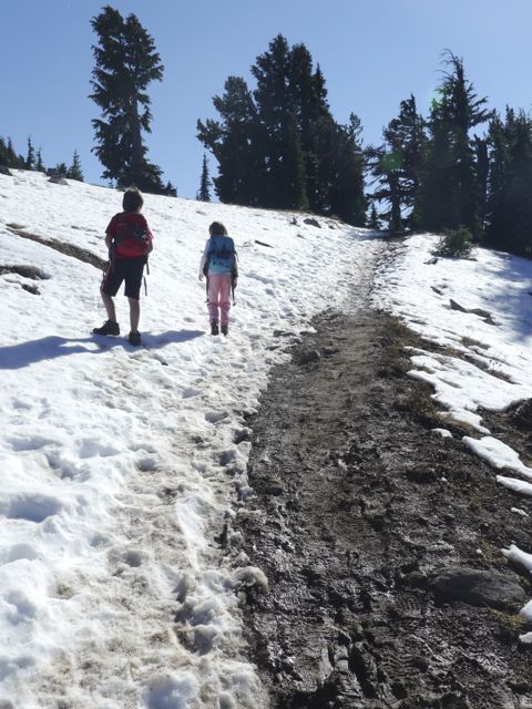
Hiking through the snow this time. Parts were slippery.
Parts were muddy too!
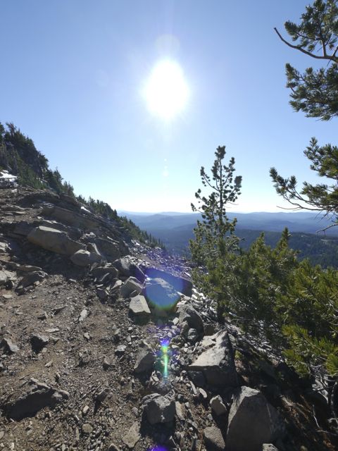
Rest break… and some messing with the fish eye (super wide) lens.
Liked the flare.
Kane always wanted to take the lead and shortcuts straight up where possible.
Getting up there!
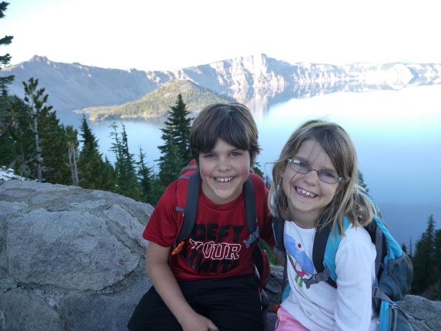
We got the peak!
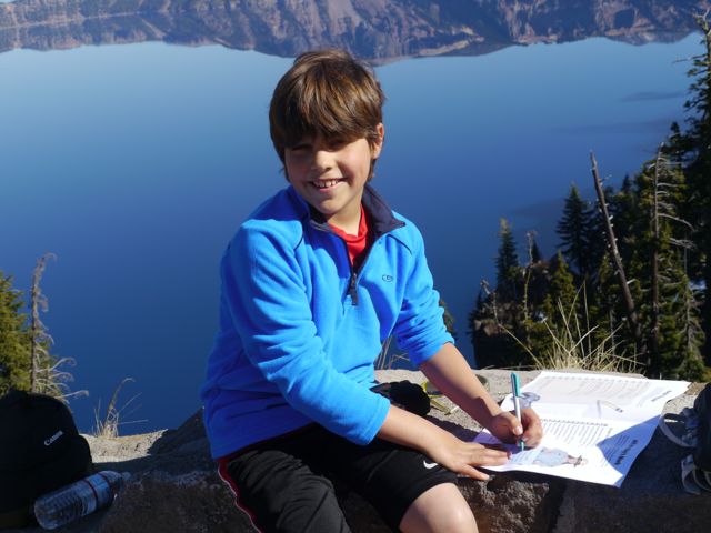
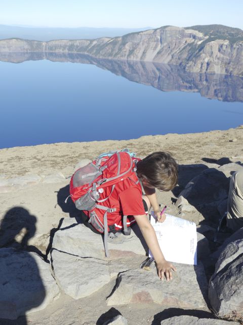
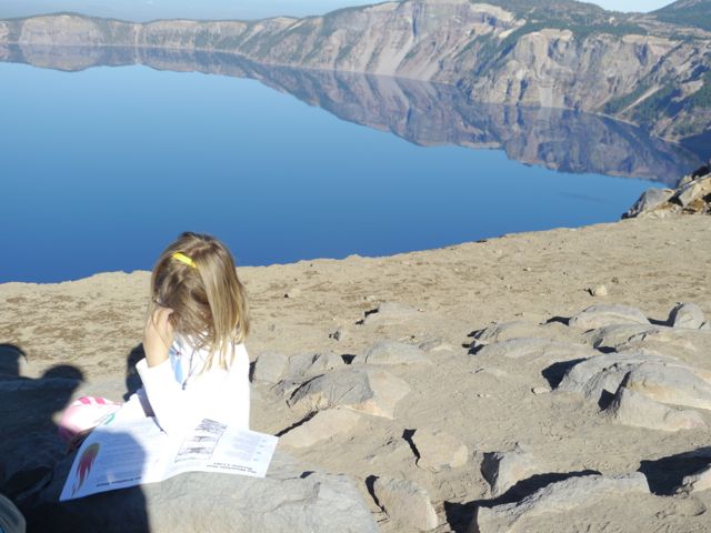
Working on her Junior Ranger program. We needed to turn them in at 5:00. Pic taking at 3:45… gotta hustle.
Some nice views up there.
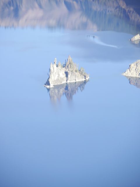
Little outcropping is called “Phantom Ship”, it’s actually as tall as a 6 story building. Kind of messes with your sense of scale?!
Not a bad place for a school lesson?
Could not help getting these of the kids working on their Junior Ranger books in this place.
Kat, working hard.
Zoomed in on the Phantom Ship.
Snapped a few wide-angle shots of the lake on the way back.
Happy to be “almost” back to the jeep.
What a place!
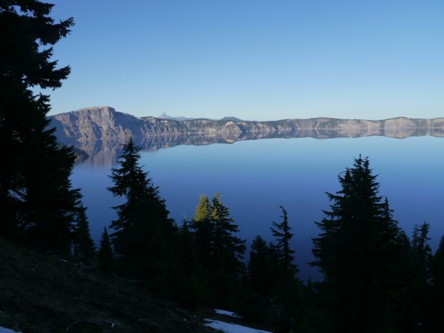
Love the dark silhouettes of the pines.
4 Replies to “Mountain -> Crater -> Lake”
Love the pics and the write-ups. Please keep them coming. Looks like a great time, every day.
Sorry no Scott on Scott this trip. I do need to lookup some nice photos I took of mount Reynolds in Glacier National Park for you. I think all I got was goat on Reynolds…. Pretty typical


Love the pics and the write-ups. Please keep them coming. Looks like a great time, every day.
Thanks Kevin. It is pretty unbelievable!
I looked up Crater National Park using Google Maps. One of the first things I noticed was Mt. Scott.
There better be a pic of Scott on Scott in your album, or its time to turn that RV around…
Sorry no Scott on Scott this trip. I do need to lookup some nice photos I took of mount Reynolds in Glacier National Park for you. I think all I got was goat on Reynolds…. Pretty typical